Tasman council surveys 500 properties for flood risk

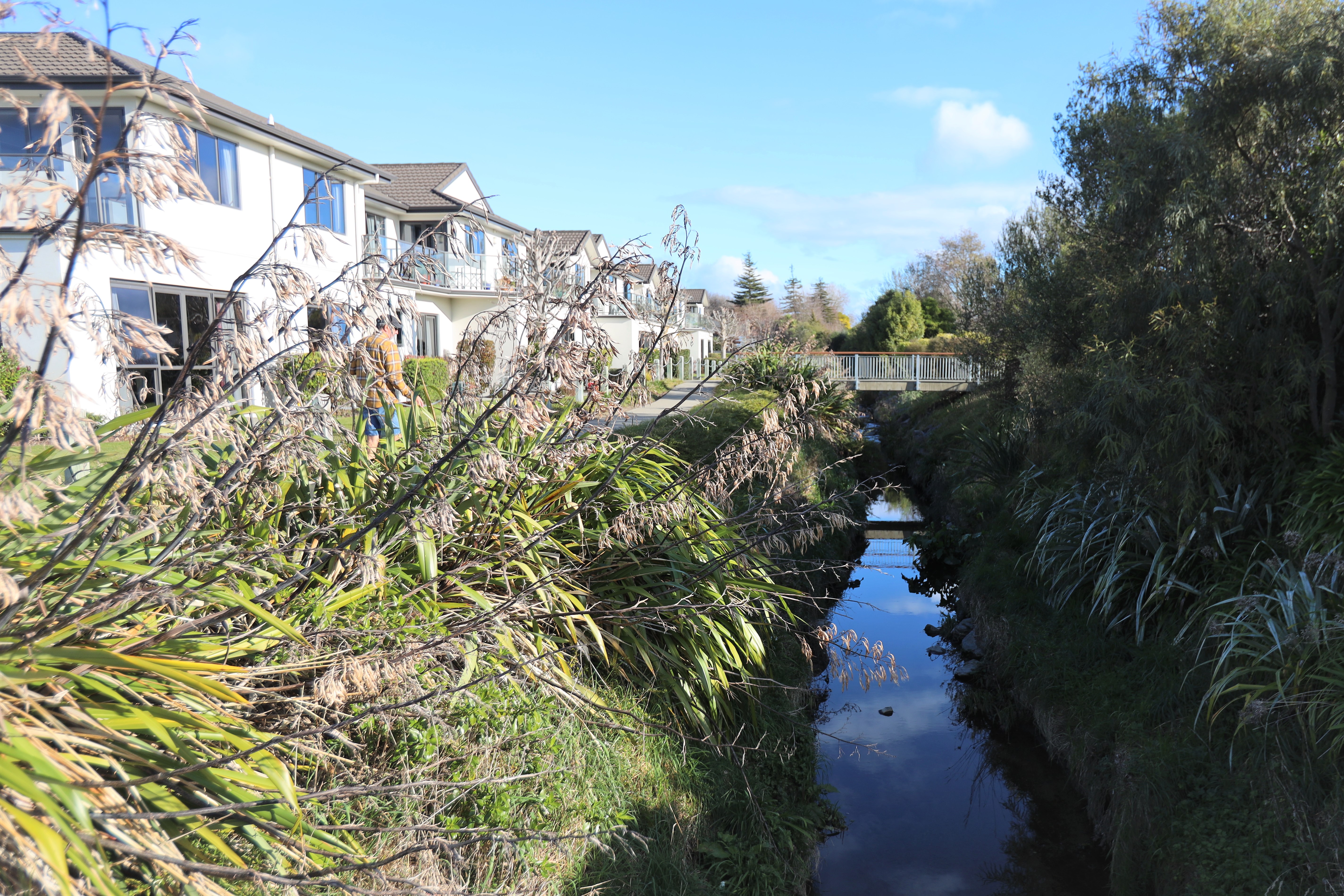
A floor level survey of about 400 homes along Reservoir Creek will be used to assess inundation risk during a significant flood. Photo: Max Frethey/Waimea Weekly.
A recent topographic survey of 400 homes along Reservoir Creek in Richmond, that are potentially at risk of inundation in a significant flood event, has collected valuable information to help determine if future stormwater intervention along the creek is necessary.*
100 homes in Māpua and Ruby Bay were also surveyed.
Tasman District Council’s current stormwater models of the area show how deep the water gets, and how fast and in which direction the water flows during a variety of flooding scenarios.
But what isn’t shown is if the water would rise above floor level on the affected properties and, if so, in what scale of event.
“While council can potentially live with what we might call nuisance flooding – when the ground gets flooded – it’s another matter altogether when it starts entering peoples’ properties,” said Dwayne Fletcher, council’s strategic policy manager.
“Damage massively increases… once it goes above floor levels, that’s when your damage really starts ramping up,” he explained. “It starts making its way into wiring, into gibbing, and so on.”
It is now a matter of further investigation for council to use the survey data to identify which properties may be at increased risk in a significant flood event.
The survey was undertaken to further council’s understanding of how flooding in the affected areas impacts local communities and to help inform council’s stormwater management decisions.
It also identifies where additional investigation will need to be undertaken to inform whether further intervention is needed.
Fletcher added that the results of any inundation risk assessment, informed by the floor level survey information, will be added to the Land Information Memorandums (LIMs).
Alexandra Hospital and Stillwater Lifecare and Village are also in the path of flood water.
Several Stillwater residents were evacuated in 2013 after record-breaking rainfall caused significant flooding across the town.
The survey was discussed at the 13 July meeting of council’s Strategy and Policy Committee.
Committee chair, councillor Kit Maling, whose own property backs onto Reservoir Creek and the Templemore Ponds, said residents who were living in their homes during the 2013 floods would likely already know if their properties were at risk of inundation.
“The most flooding we’ve ever had in Richmond was 2013 when we had that 108mms and all four creeks that came into Richmond caused flooding. But it was all within an hour and a half because it came at the same time as high tide.”
Councillor Barry Dowler also highlighted that council infrastructure was also at risk from flooding of that scale, not just private houses.
“Water running across ground and getting into the gully traps, getting into our wastewater system– It absolutely doesn’t go down very well when it gets to the wastewater plant, so it’s not just the houses that could be affected, it could be council as well.”
Roads, bridges, flood structures, and parks are also located in the flooding zone.
Council will continue to monitor water and flood data in the area, as factors like climate change impact on flood severity, in case intervention becomes needed in the future.
*This story originally claimed, based on erroneous information, that the surveyed properties were largely safe from flood inundation. It has since been corrected as of 15:15 21 July 2023.
