Mission gets second life
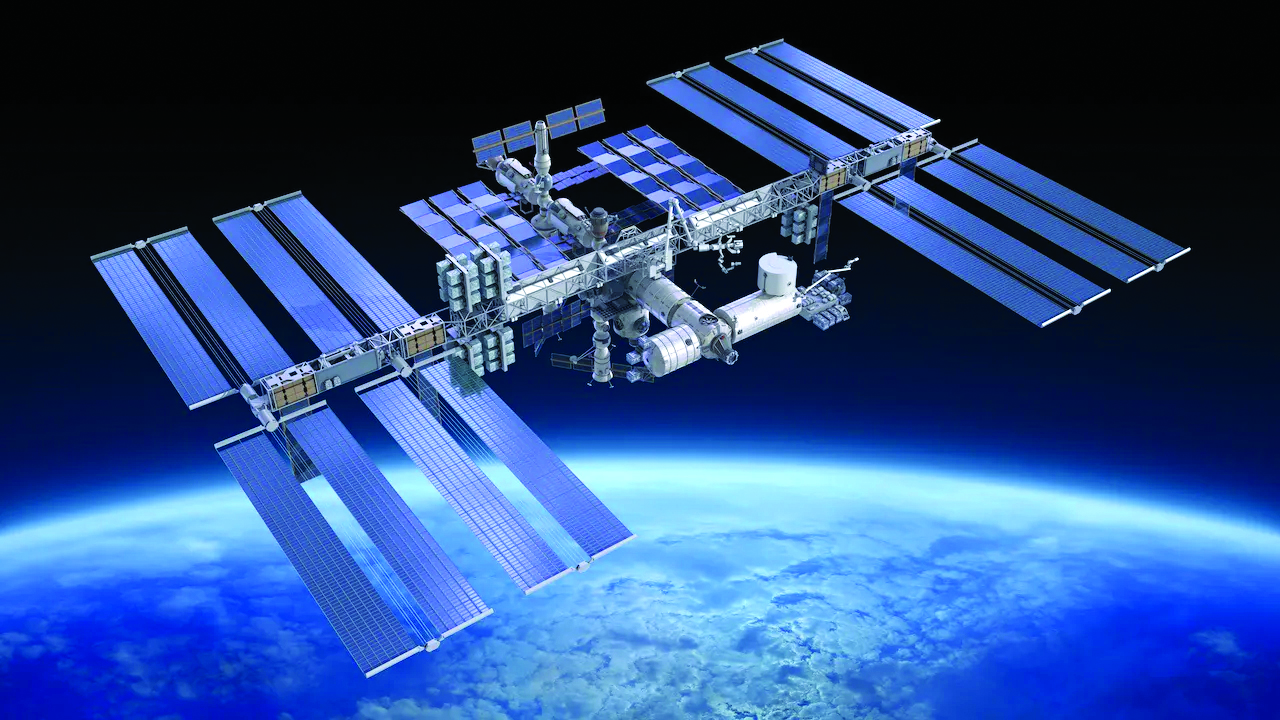
Photo: Supplied
GEDI (Global Ecosystem Dynamics Investigation) is a NASA mission, launched in 2018, to measure above ground biomass on Earth. The information has been crucial for scientists to understand how deforestation has contributed to atmospheric CO2 concentrations and has allowed scientists to map habitats and biomass, particularly in the tropics, providing detail on the Earth's carbon cycle.
The mission was supposed to be decommissioned earlier this year however in a last-minute decision, NASA has decided to extend the GEDI mission, which was fated to be jettisoned from the International Space Station where it has been attached for the past four years, to make way for another, unrelated, mission. But a campaign driven by the scientists involved in the project helped the mission — the first to map Earth’s forests in 3D — get a second life.
NASA now says the mission will take a hiatus for 18 months and the GEDI equipment will be put into storage then reinstated. In 2024 the GEDI will be returned to its original location and resume operation on the space station until the space station retires in 2031.
Data from the GEDI mission has been critical for scientists to understand how deforestation is exacerbating climate change.
“This mission is particularly valuable, especially at the point where we are in now, in terms of climate negotiations and the recognition of mitigation efforts,” said Scott Goetz, deputy principal investigator at the GEDI mission. “It means a lot to me and my group, but it means a lot more for the broader scientific community as well.”
The GEDI mission uses spaceborne laser altimeters to measure the aboveground biomass on Earth. Scientists calculate the dimensions of trees based on the time it takes for the light emitted from the International Space Station to hit the tree and reflect back. Since the light also reflects off leaves and branches, the GEDI mission has also helped scientists get a fuller understanding of what a tree looks like, including details about girth, weight and canopy size.
Modelling forests in 3D is imperative to estimate the amount of carbon stored in them. About half of a tree’s dry weight comprises carbon, which is released into the atmosphere when it’s cut down or is burned up in a fire. When scientists and researchers can calculate the amount of carbon stored in an area of forest, it gives them a clear picture of how the carbon is distributed and how much is released due to deforestation.
Since GEDI data became publicly available in 2020, researchers and governments have been using it for a variety of applications.